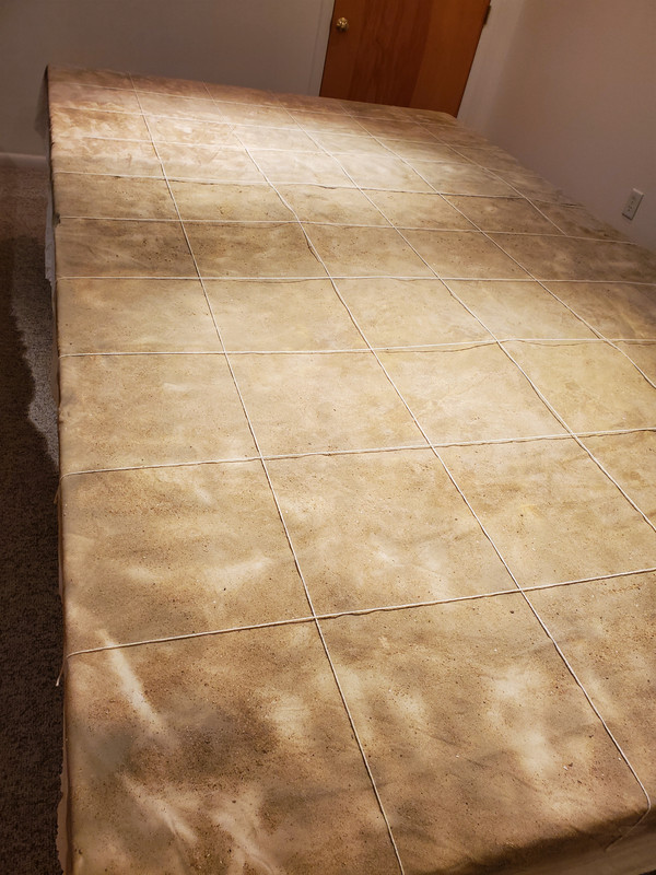
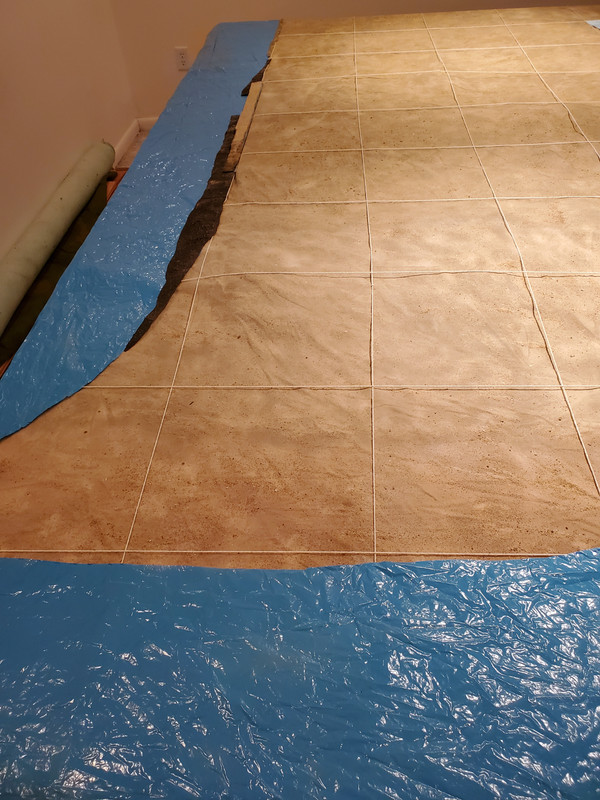
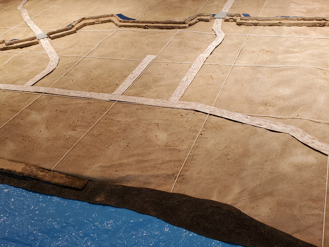
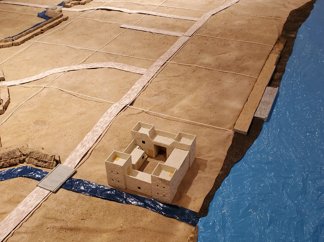
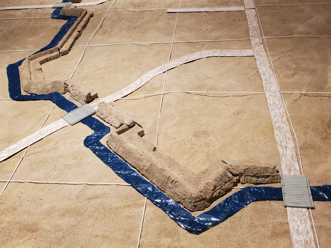
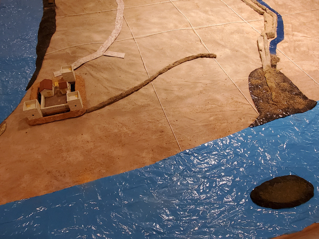
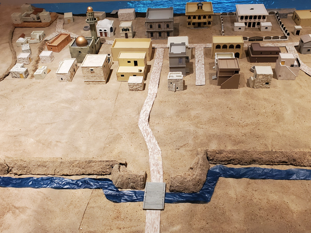
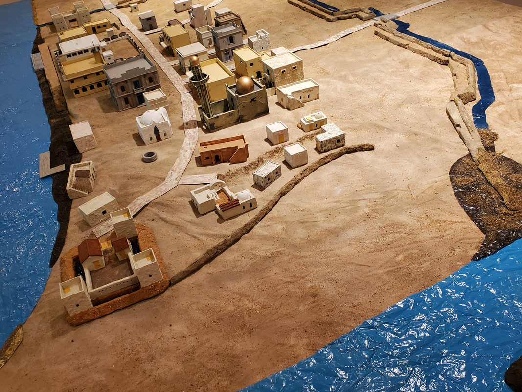
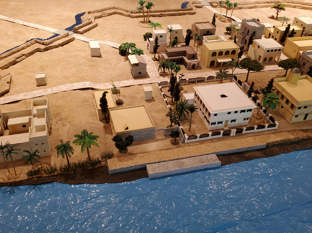
For a wargame, of course, the most important features are the city's defenses. Khartoum is often portrayed as a walled city (in books, pictures of wargames, and even in the film Khartoum). It in fact had no walls. Khartoum was surrounded by an arc of dirt fortifications between the Blue and White Niles, supported by Fort Mukran at the west end and Fort Burri on the east end (both scratch built here by me, with almost no guidance as to their actual appearance). The fortifications were ramparts fronted by a ditch and with catwalks behind, interrupted by a series of "forts" or redoubts through which the primary roads passed over the ditch on wooden bridges. There was a small dirt dike that protected Fort Mukran and the lower town from the annual flooding of the White Nile.
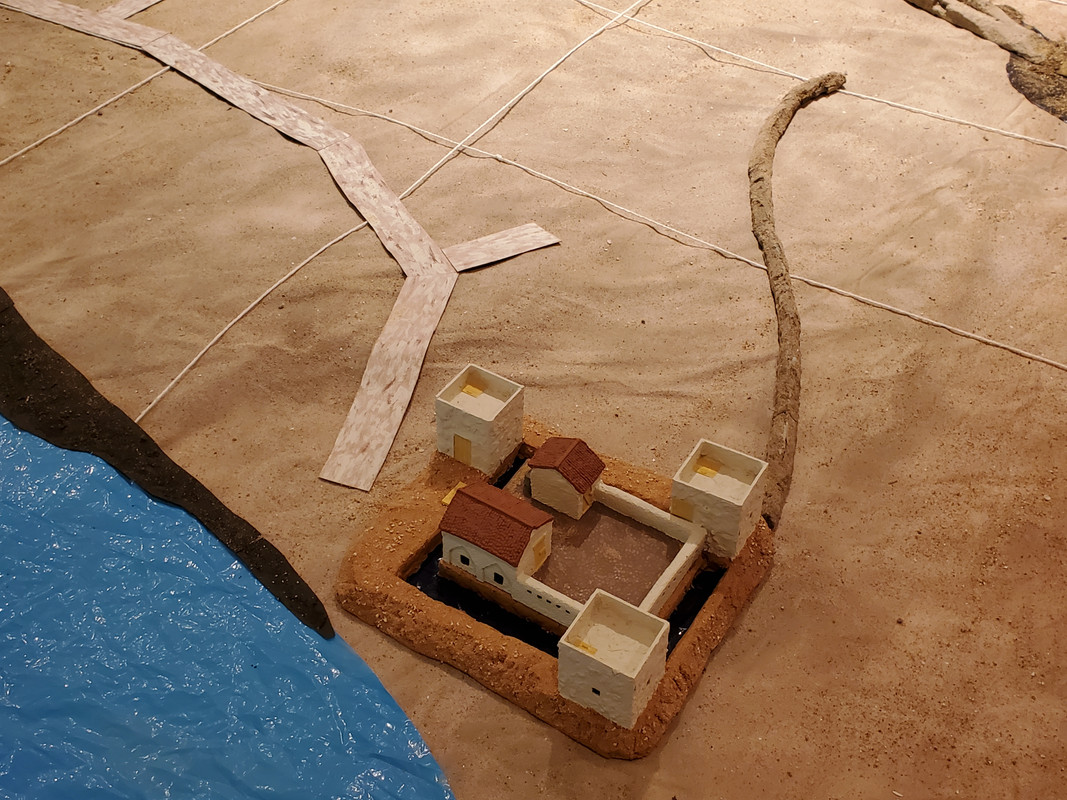
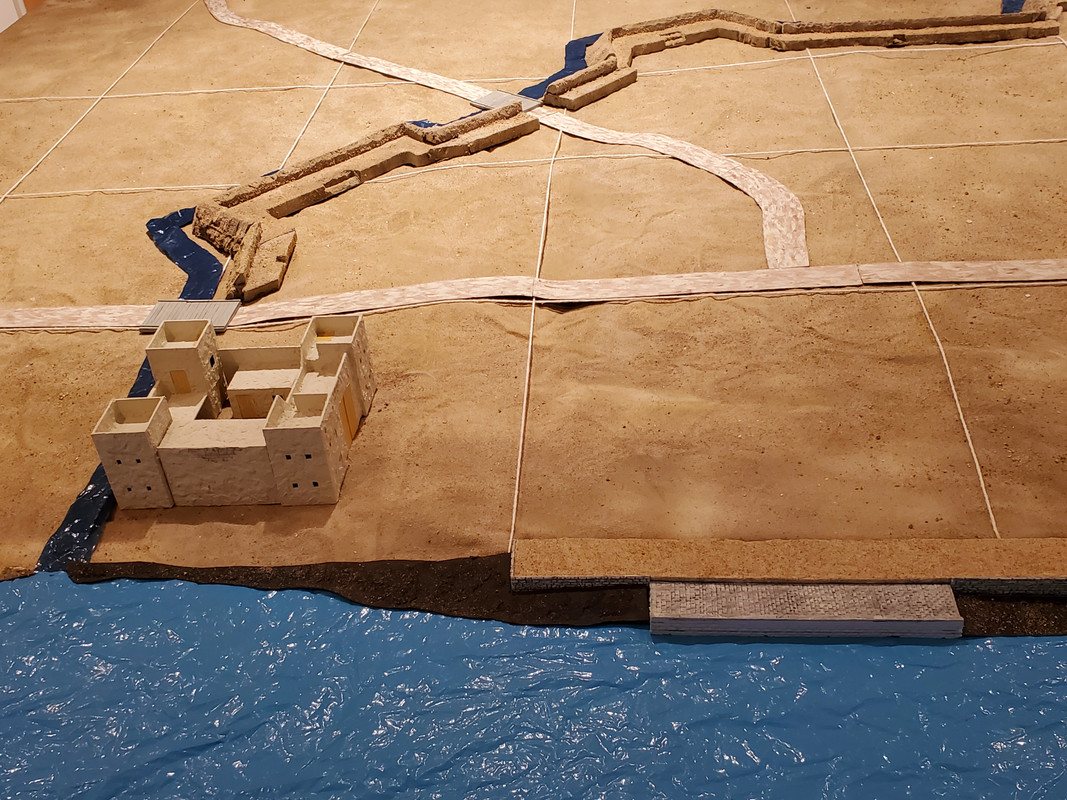
There were three roads leading into the city (going through the Burri, Masallamuja, and Kalakla "gates"), the Burri road turning into the city's main street (which ran parallel to the Blue Nile). The main weakness of the city's defenses -- besides their decrepit state when Gordon arrived in Khartoum -- was the west end, where the fortifications reached the White Nile. There the defenses were reduced each year by the floods to a small sea of mud.
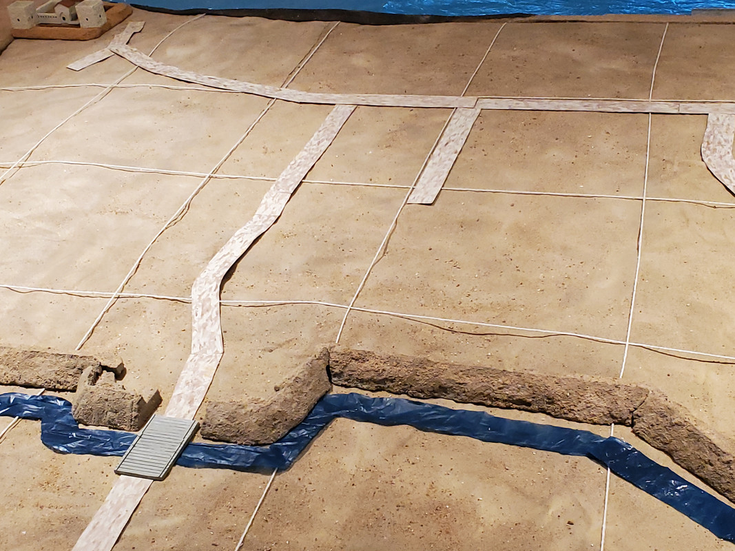
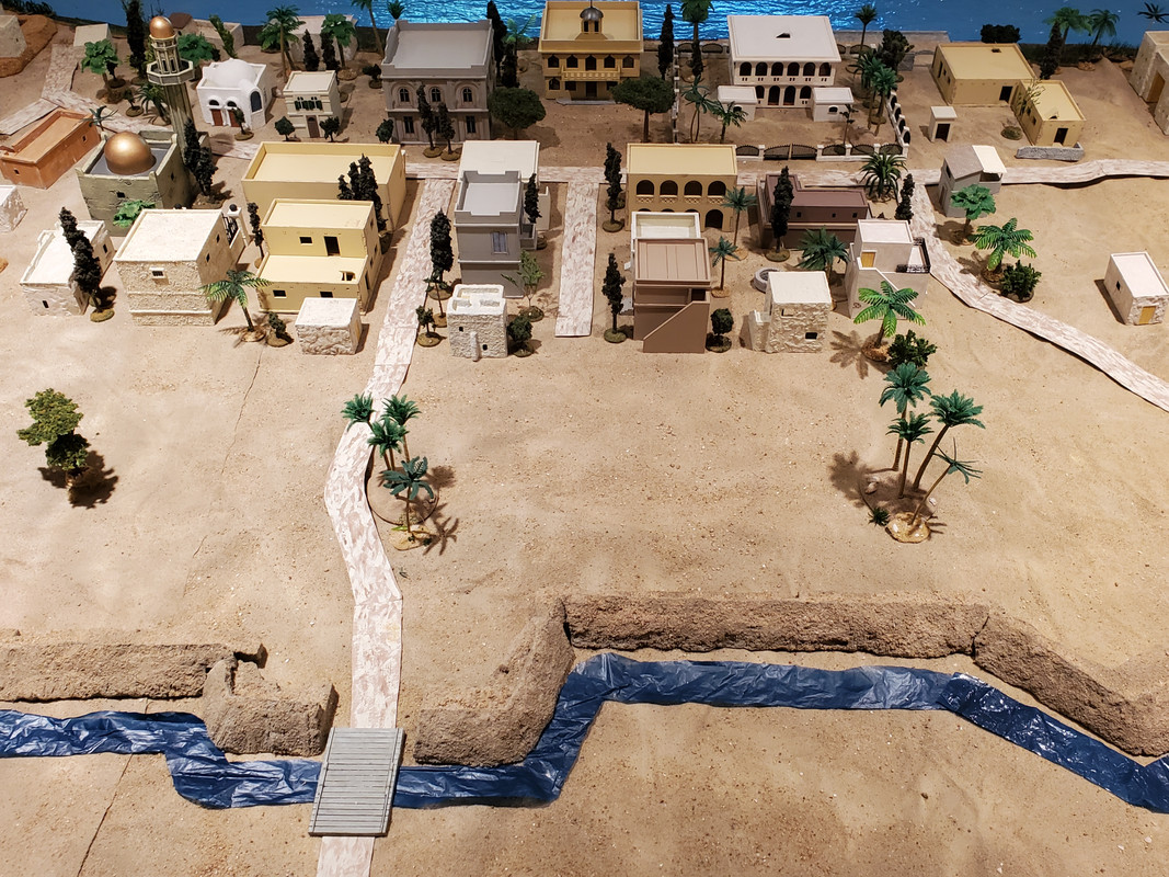
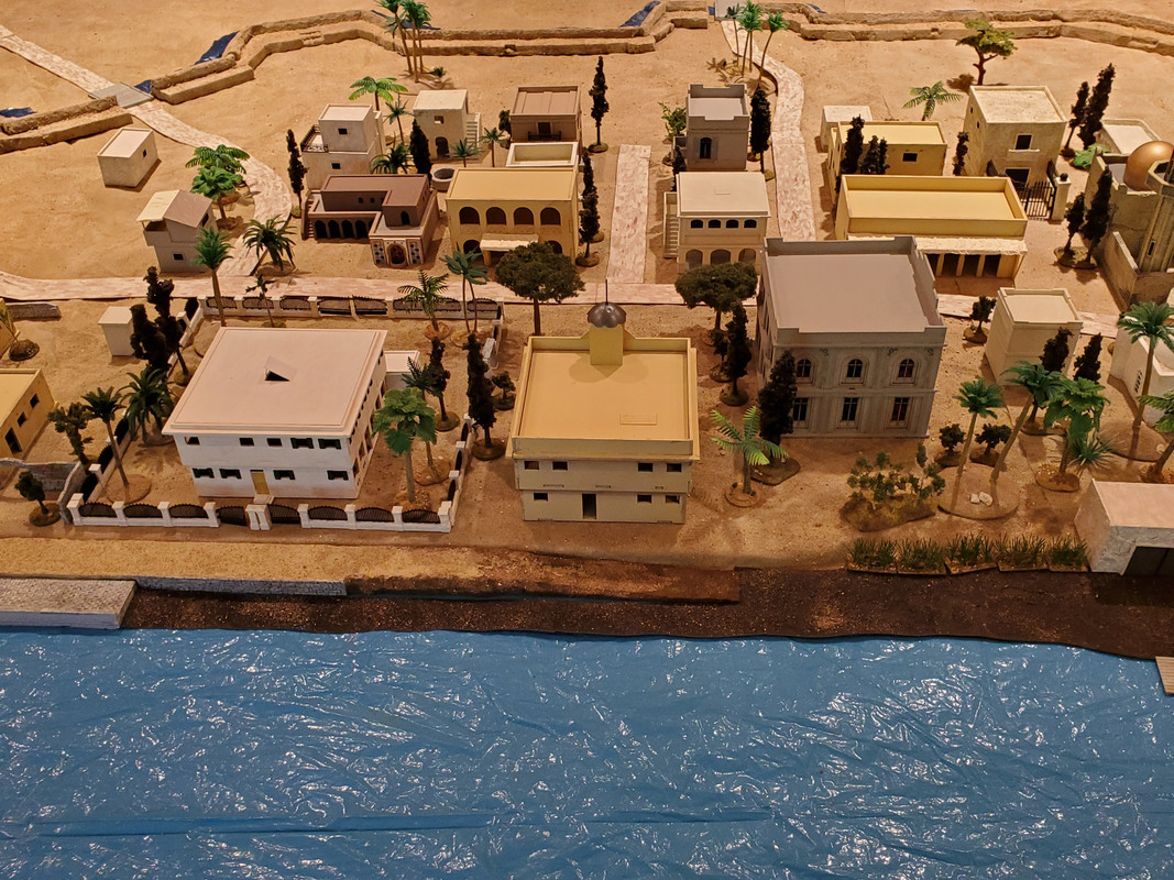
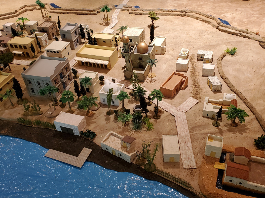
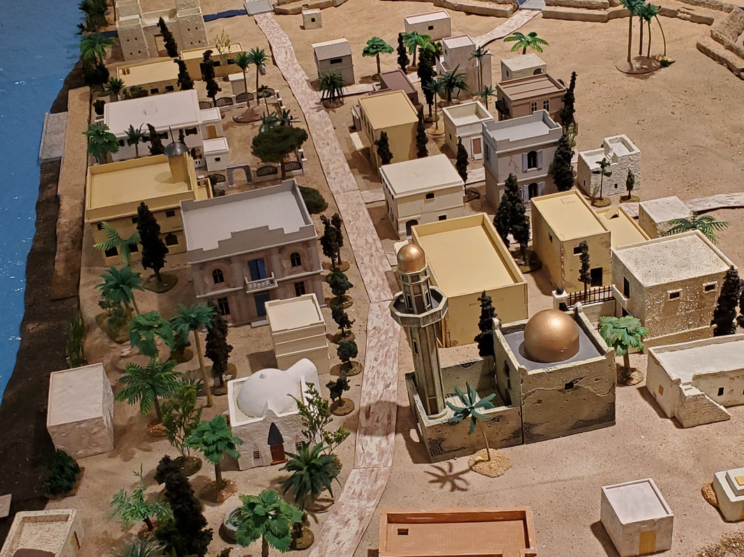
Most of the buildings I used here were either scratch built or heavily modified to approximate the few sketches we have of actual buildings. I couldn't fit a whole city's worth of buildings onto my table, of course, so I focused on the major ones we know about: the Governor General's palace, city hall, Austrian consulate, and coptic church along the river; and the main mosque, prison, and bazaar on the other side of the road. The rest of the buildings just fill in the main neighborhoods, including Burri village, the lower town, and the European section, with the boatyards, landings, and quays along the Blue Nile.
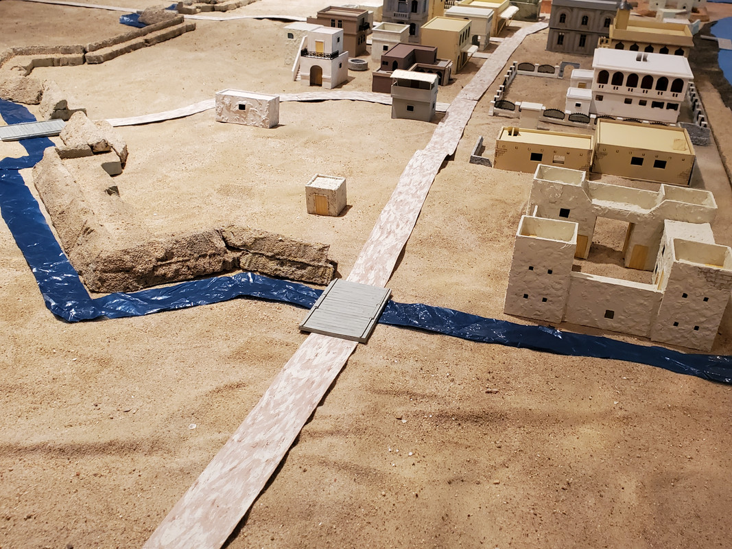
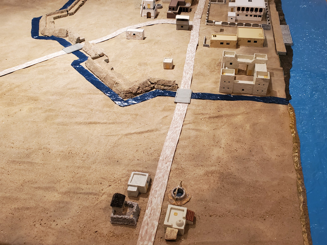
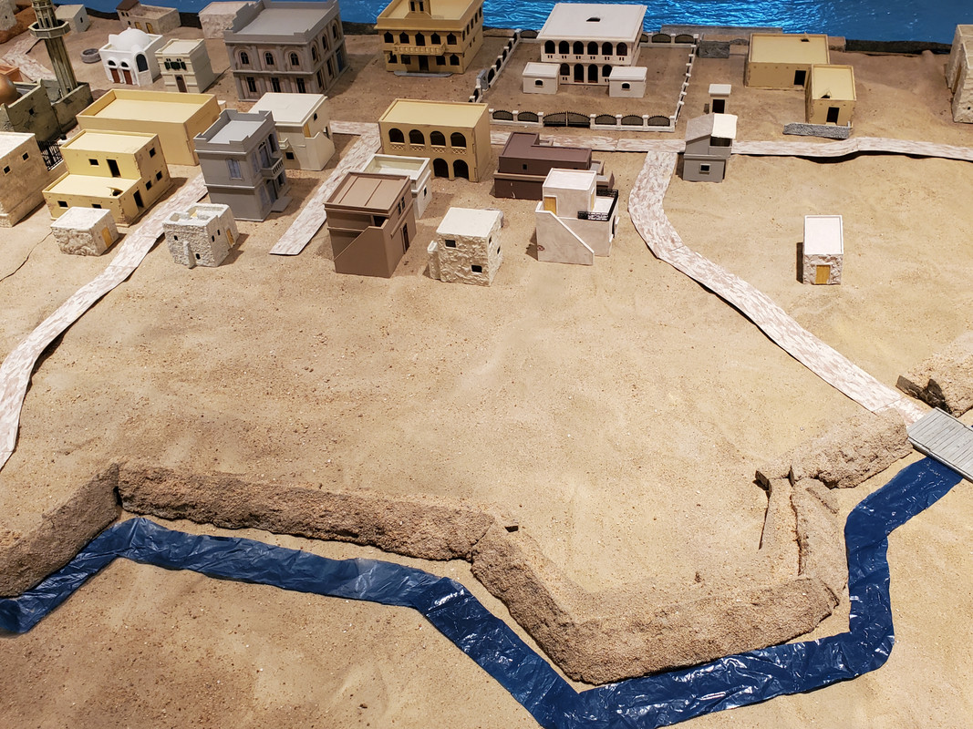
I added a bunch of palm trees, especially in the places indicated by Slaton's map and shown in the sketches. Other trees, grasses along the rivers, and other foliage completed my version of Khartoum, now ready for civilian and military occupation.
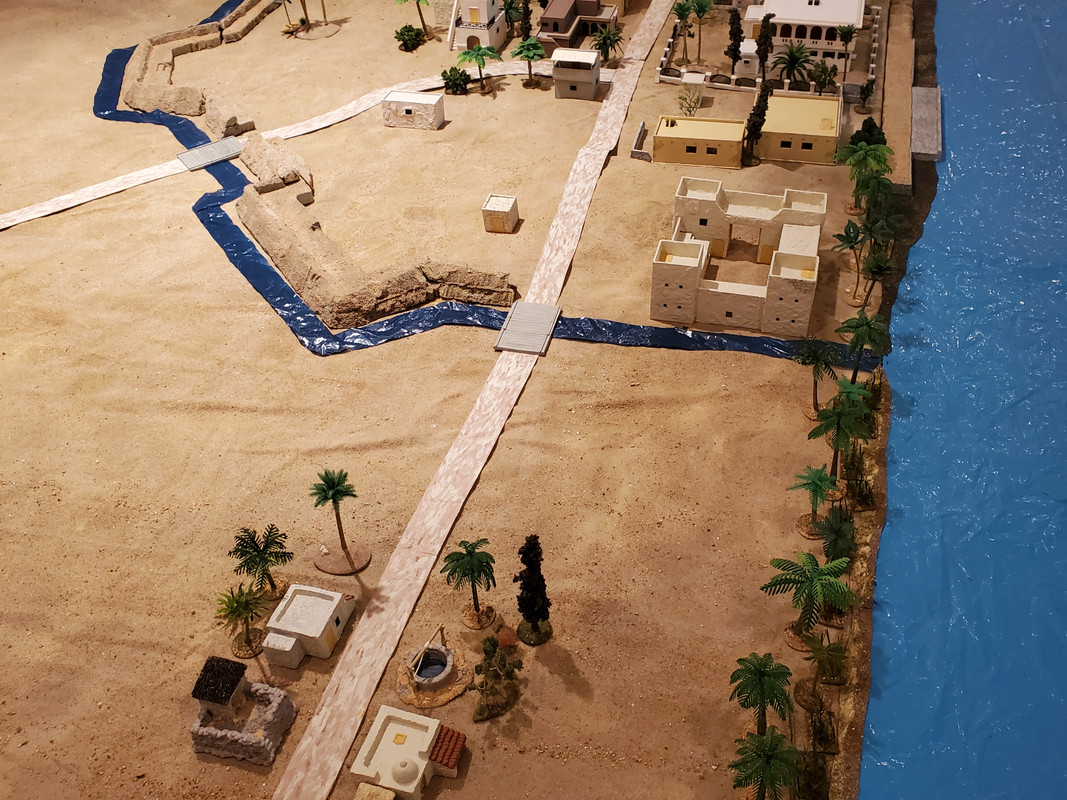
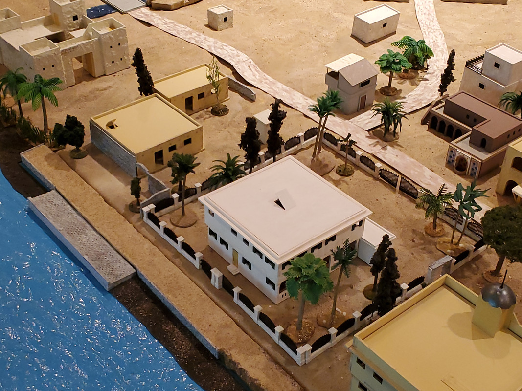
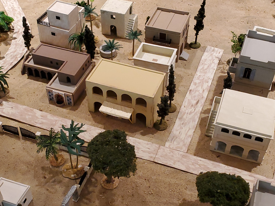
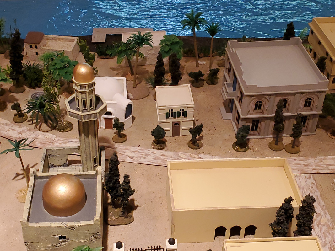
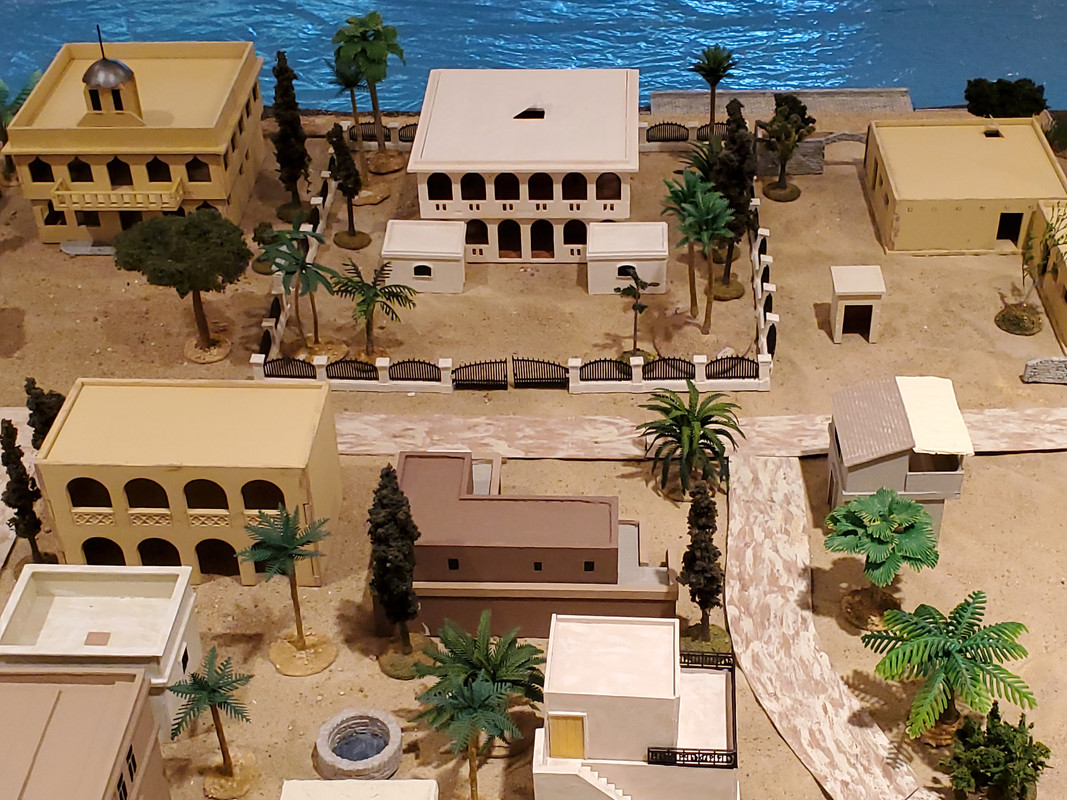
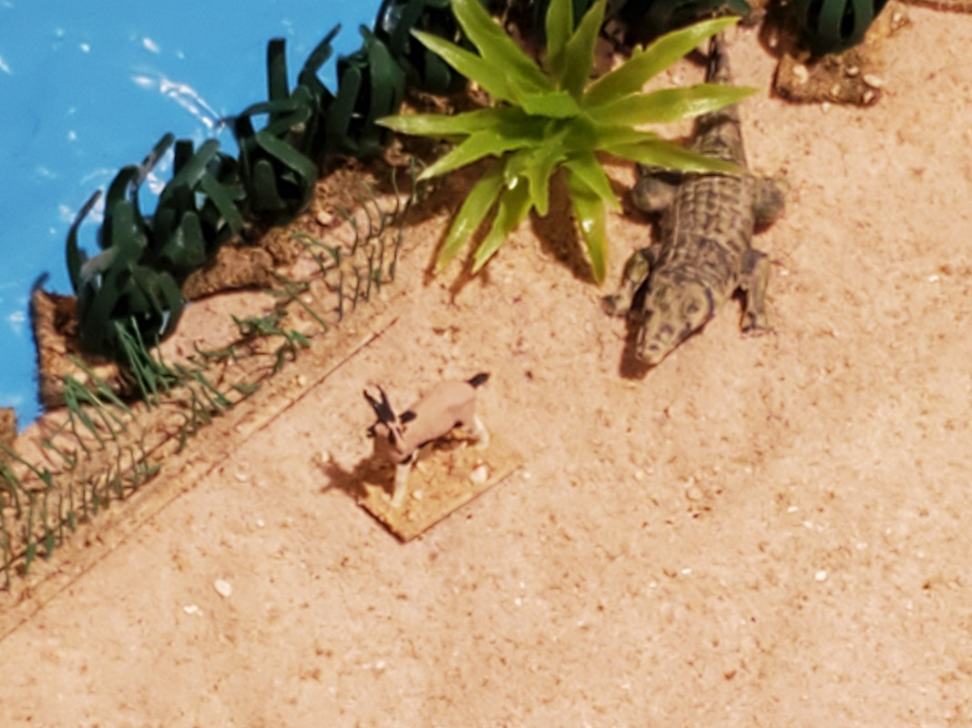
And last: a bit of drama next to the White Nile.


 Supporting Member (Bronze)

 Moderator

